More Buyer Resources
Popular Buyer Articles
Buying Guides & Reports
- First-Time Homebuyers Guide
- Home Financing Guide
- Moving & Relocation Guide
- School Reports
- Neighborhood Reports
Buyer Tools
- Real Estate Calculators
- Get Homes Hot Lists
- Todays Rates
- Buyer Toolchest
- Ask The Experts
- Home Search Options
More Seller Resources
Popular Seller Articles
- Foreclosure Help
- Instant Home Valuation
- Sales In My Neighborhood
- Divorce & Your Home
- Free Market Analysis
Selling Guides
Selling Tools
Map Guide: Viewing Colorado's Fall Aspens
Sep 01, 2021
UPDATED
The Best Places To View
Colorado's Fall Aspens
SOUTH & WESTERN COLORADO MAPS
The San Juan Skyway: Hwy 550 between Durango and Silverton. map
Missionary Ridge on East Animas Road: 11 miles north of Durango paralleling Highway 550. Follow east Animas Road to Henderson Lake. map
Spud Lake up Old Lime Creek Road: Take Hwy 550, 3 miles past Purgatory Ski Area, turn right on Old Lime Creek Road. 3 miles to Spud Lake. map
Miller Mesa: Just south of Ridgeway go left on County Road 5. map
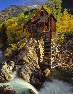
Crystal: Glenwood Springs south to Marble. Then another 6 miles on County Rd 3 to the
Ghost Town and the Crystal Mill. Four-wheel drive only past Marble. map
Keebler Pass & Ohio Pass: From Crested Butte, head west on Co Road 12 over Keebler Pass to Paonia State Park. When traveling west on Rd 12, turn south at Co Rd 730, which will take you to Gunnison. keebler pass - ohio pass
NORTHERN COLORADO MAPS
Highway 13 From Rifle: Take Highway 13 from Rifle into Meeker and continue into Craig. map
Sylvan Lake (Rifle): Exit I-70 at Eagle, drive south thru Eagle on Main Street to West Brush Creek Road, turn right and drive 16 miles to the park. map
Maroon Bells: Go west on Hwy 82 from Aspen. Turn southwest at Maroon Creek Road and follow the road to the parking area near Maroon Lake. map
Rocky Mountain National Park, Estes Park: Take I-25 to Hwy 34 or 36, go west to Estes Park. map Note: Before you go, make sure portions of RMNP are not closed due to elk breeding season.
Granby, Grand Lake: Take I-70 to Hwy 40, north to Granby, continue north on Hwy 36 to Grand Lake. map
Cameron Pass: Hwy 14 west of Ft Collins towards Walden. map
CENTRAL COLORADO MAPS
Ute Pass, Colorado Springs: Take I-25 south to Hwy 24, go west thru Manitou Springs and on up to Ute Pass. map
Gold Camp Road: Head southwest on Old Stage Road (near Broadmoor Hotel) in Colorado Springs, which will turn into Gold Camp Road. An incredible scenic drive and a full day's adventure, round-trip, as it takes you to Victor and Cripple Creek. It's a long drive on a dirt road traveling along an old railroad route. Note: Many online maps are not reliable and does not illustrate entire route. This is probably a more reliable map.
Rampart Range Rd: Take Hwy 67 west of Sedalia to Rampart Range Road. Follow all the way to Woodland Park. map
BEST TIME TO VIEW ASPENS
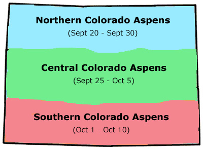
Most years, the best colors over the northern mountains should start around the last week of September. Central mountains are about a week behind. And, the Southern Mountains begin the first two weeks of October. Take some time off to have a relaxing drive in the high country!
IMAGES OF COLORADO'S COLORFUL ASPEN SCENERY
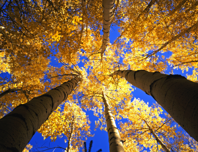
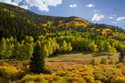
GOLDEN CANOPY IN ARAPAHOE NATIONAL FOREST
COLORADO FALL FOREST
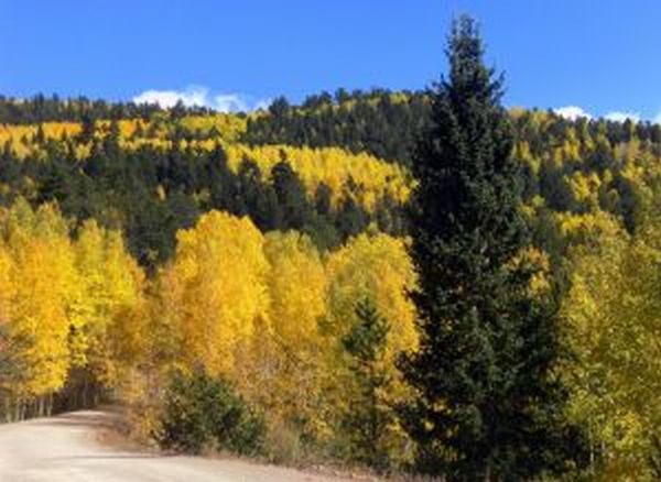
CLEAR CREEK CO, ARAPAHOE NATIONAL FOREST
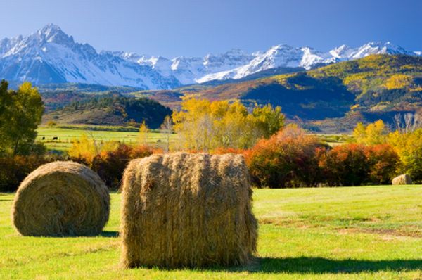
VIEWS OF THE SAN JUAN RANGE
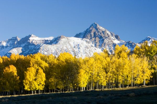
ASPEN STAND NEAR MT. SNEFFELS
What are your favorite aspen drives?
Leave a comment, below.
IMAGE ATTRIBUTIONS:
fall colors colorado forest - stockxchng
![]()

(303) 514-4000
What Our Clients Say
| Buyers | Sellers | New Homes | Foreclosure Help | First-Time Buyers |
Copyright © 2014, Michael Dagner and and www.DenverHomesOnline.com. All rights reserved.
Category: Things To Do Around Colorado
Please add your bio info through your member profile page, or through your dashboard.
Stay Connected With DenverHomesOnline.com
The Michael Dagner Group, Brokers Guild Cherry Creek Ltd, 7995 E. Hampden Ave, Ste 100, Denver, CO 80231 Map
5 Minutes From The Denver Tech Center - Near Tamarac Square, 9-Mile Station, & Cherry Creek Reservoir
(303) 514-4000
Copyright © 2010-2011, the Michael Dagner Group. All rights reserved. Sitemap | Terms Of Use | Our Commitment To Your Privacy
